ROS Resources: Documentation | Support | Discussion Forum | Index | Service Status | ros @ Robotics Stack Exchange
Ask Your Question
0

Road elevation issue of using opendrive map in the ASSURE mapping tool

asked 2021-06-21 20:05:57 -0500

yougeyxt gravatar image

updated 2021-06-21 20:11:21 -0500

Hi all,

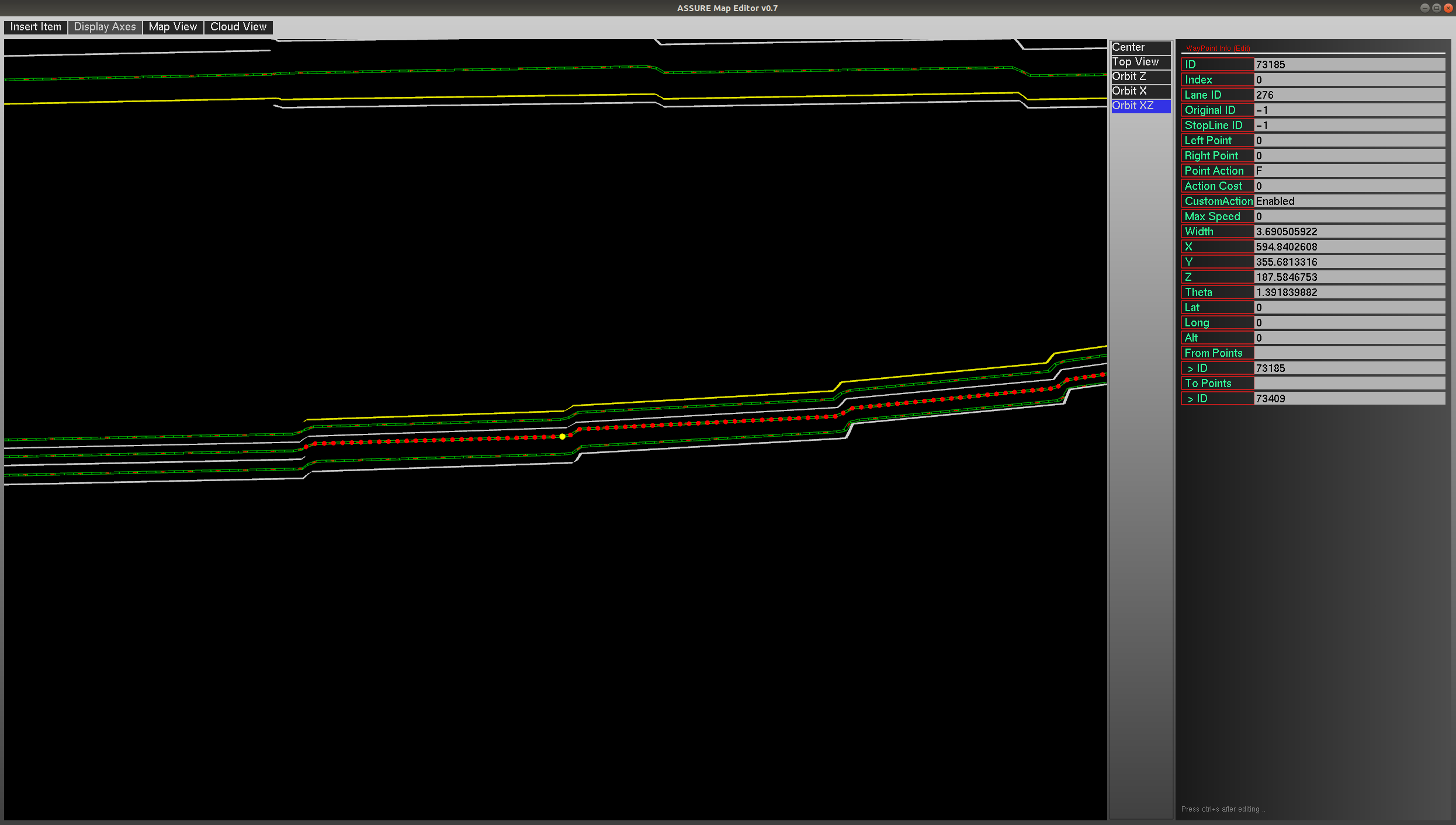
I am trying to use the ASSURE mapping tool to load a opendrive format map to convert it into a lanelet2 format map. After loading the opendrive map, the elevation of roads are not changing continuously but "stepwise" as below: image description
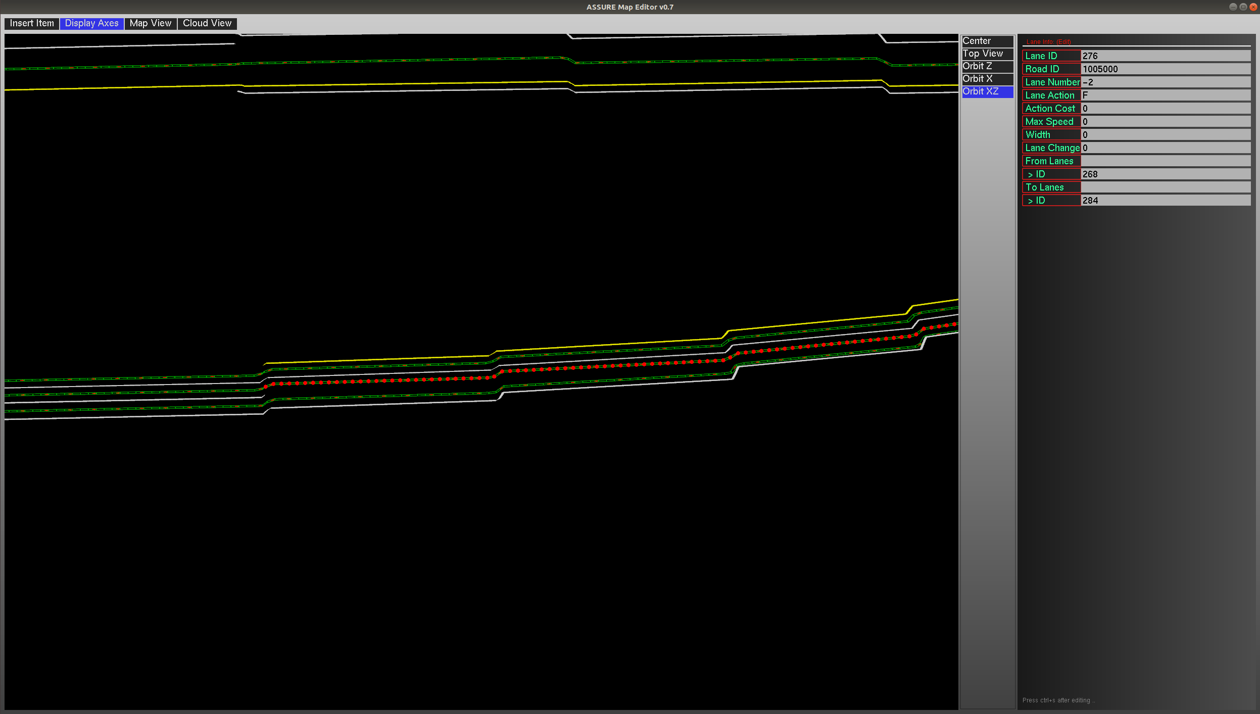
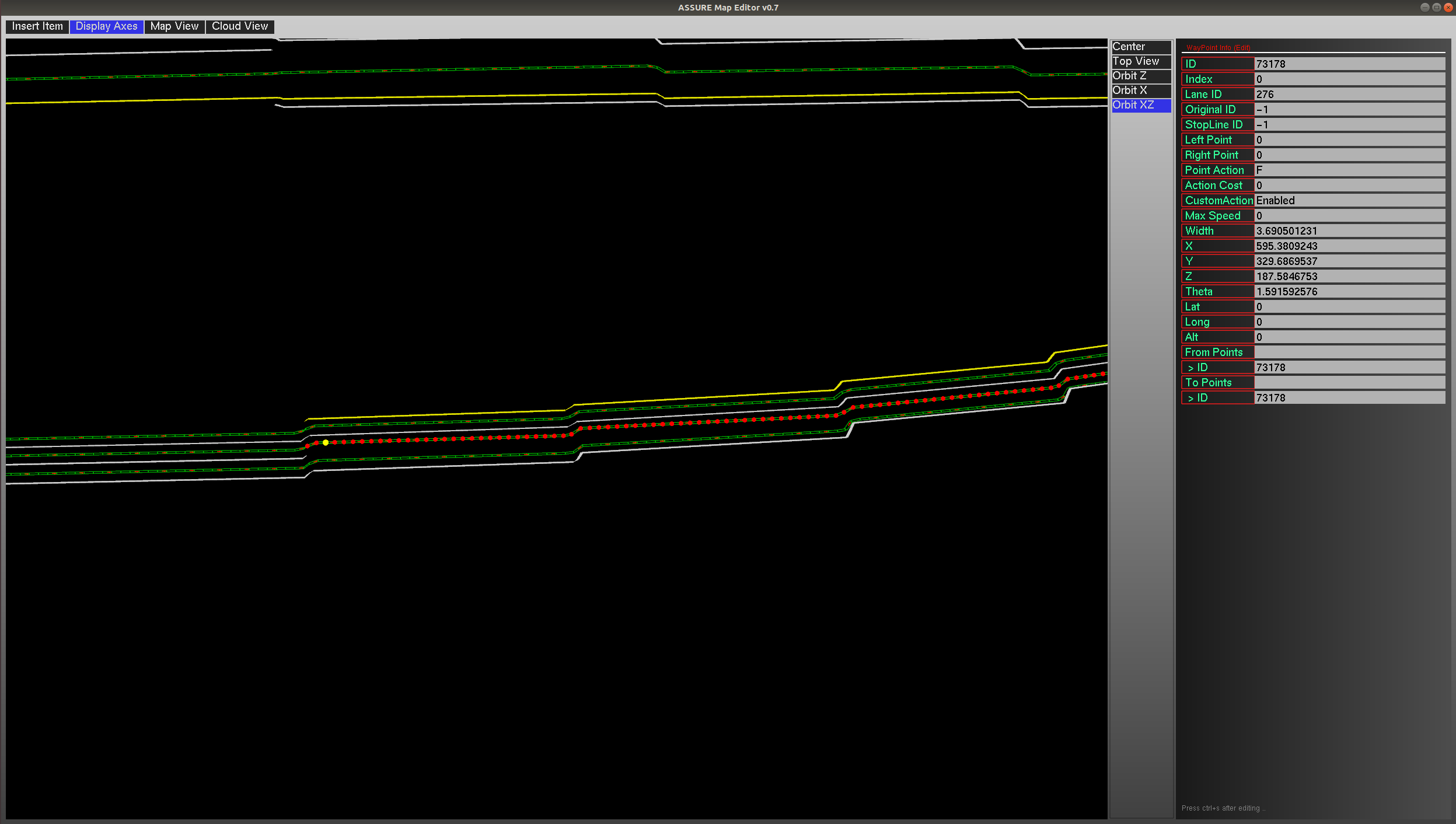
The screenshots of two specific points information are as below (it can be found they share a same z value): image description image description
From the opendrive map introduction, the elevation is calculated based on the following equation: image description
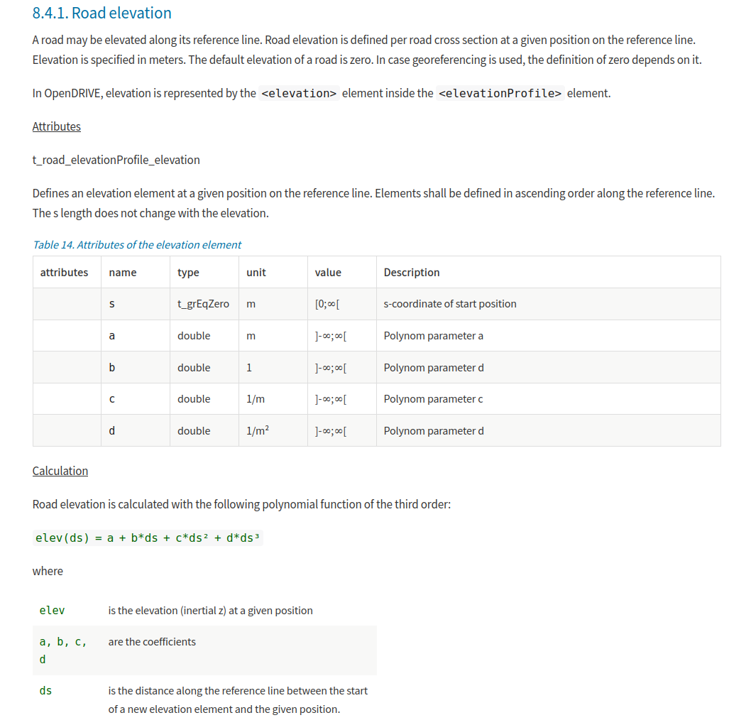
After checking the original file of the opendrive map, it seems the coefficients of the road are correctly given. So I expect the road elevation should change continuously.

The opendrive map format is openDRIVE 1.5, and I used the latest master branch of the ASSURE mapping tool. Please advise if you have any comments or suggestions. Thanks!

edit retag flag offensive close merge delete

Comments

Hi @Hatem, could you please take a look on this? Thanks.

yougeyxt gravatar image yougeyxt  ( 2021-06-21 20:06:33 -0500 )edit

Can you send me the OpenDRIVE map file. I need to reproduce the issue.

Hatem gravatar image Hatem  ( 2021-06-25 03:30:30 -0500 )edit

I have sent it. Thanks.

yougeyxt gravatar image yougeyxt  ( 2021-06-25 14:08:49 -0500 )edit

1 Answer

Sort by » oldest newest most voted
1

answered 2021-06-27 03:19:51 -0500

Hatem gravatar image

updated 2021-06-28 01:27:35 -0500

Hello,

You problem has nothing to do with elevation. Actually the problem in the Geometry section in the OpenDRIVE. The generating application using the parameter "pRange" which is not recommended to be used by default in the standard.

Currently assuremaptool doesn't support pRange="arcLength". I will add the support in next update.

For now you can regenerate the map using the default pRange option.

Regards,

Update: assuremappingtool will included a fix to this issue from 28th June 2021.

edit flag offensive delete link more

Comments

Hi Hatem,

Thanks a lot for helping look into it! I got it. So the pRange option assuremaptool currently support is "normalized"? However, it is a little bit hard to regenerate the map since it is provided by other groups. Do you have any suggestions or ideas for other tools that can support parsing the OpenDRIVE map with "arcLength" option and convert it to Lanelet2 map just as assuremaptool do?

Thanks!

yougeyxt gravatar image yougeyxt  ( 2021-06-27 08:54:37 -0500 )edit

check the tool again, I uploaded a fix

Hatem gravatar image Hatem  ( 2021-06-28 01:28:04 -0500 )edit

It works flawlessly, thanks for the fix :)!

yougeyxt gravatar image yougeyxt  ( 2021-07-01 16:50:24 -0500 )edit

Question Tools

2 followers

Stats

Asked: 2021-06-21 20:05:57 -0500

Seen: 552 times

Last updated: Jun 28 '21