
Using gmapping generated map on Stage
Hi, I searched for a guide on how to use a map generated with gmapping on Stage but couldn't find anything (weird). I generated a map with a real robot using gmapping and as result I got a pgm file and a yaml file. Here's the output of the yaml
image: basketRX.pgm

resolution: 0.050000

origin: [-39.400000, -36.200000, 0.000000]

negate: 0

occupied_thresh: 0.65

free_thresh: 0.196
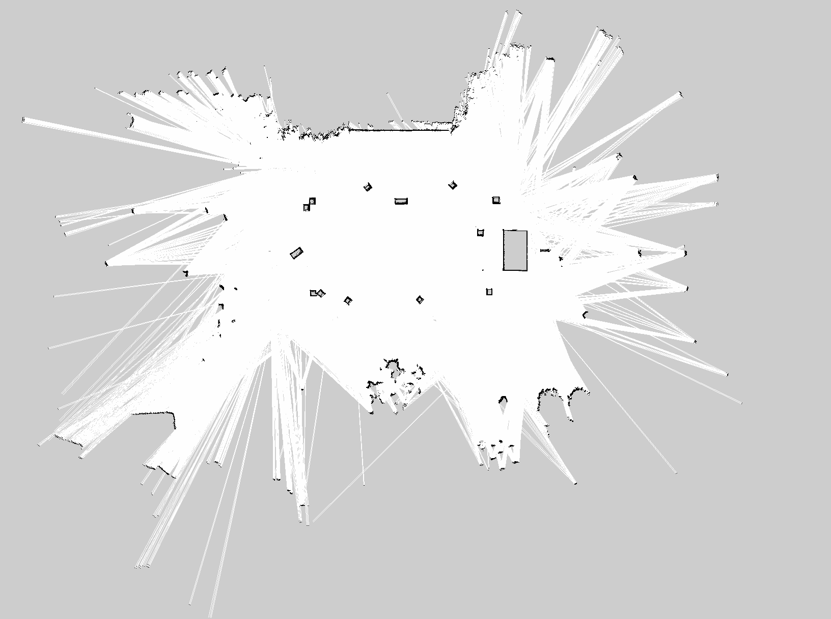
And this is the generated 1632x1216 map (i converted it to png)
I want to use this map with stage so I modified it a bit (to include just the centre of the map and I repassed the obstacles with GIMP) and wrote a .world file. Unfortunately it seems that the robot cannot localize and navigate badly. Using the same navigation and amcl config file with a different map everything works as it should. So it must be something wrong in the world file I wrote.
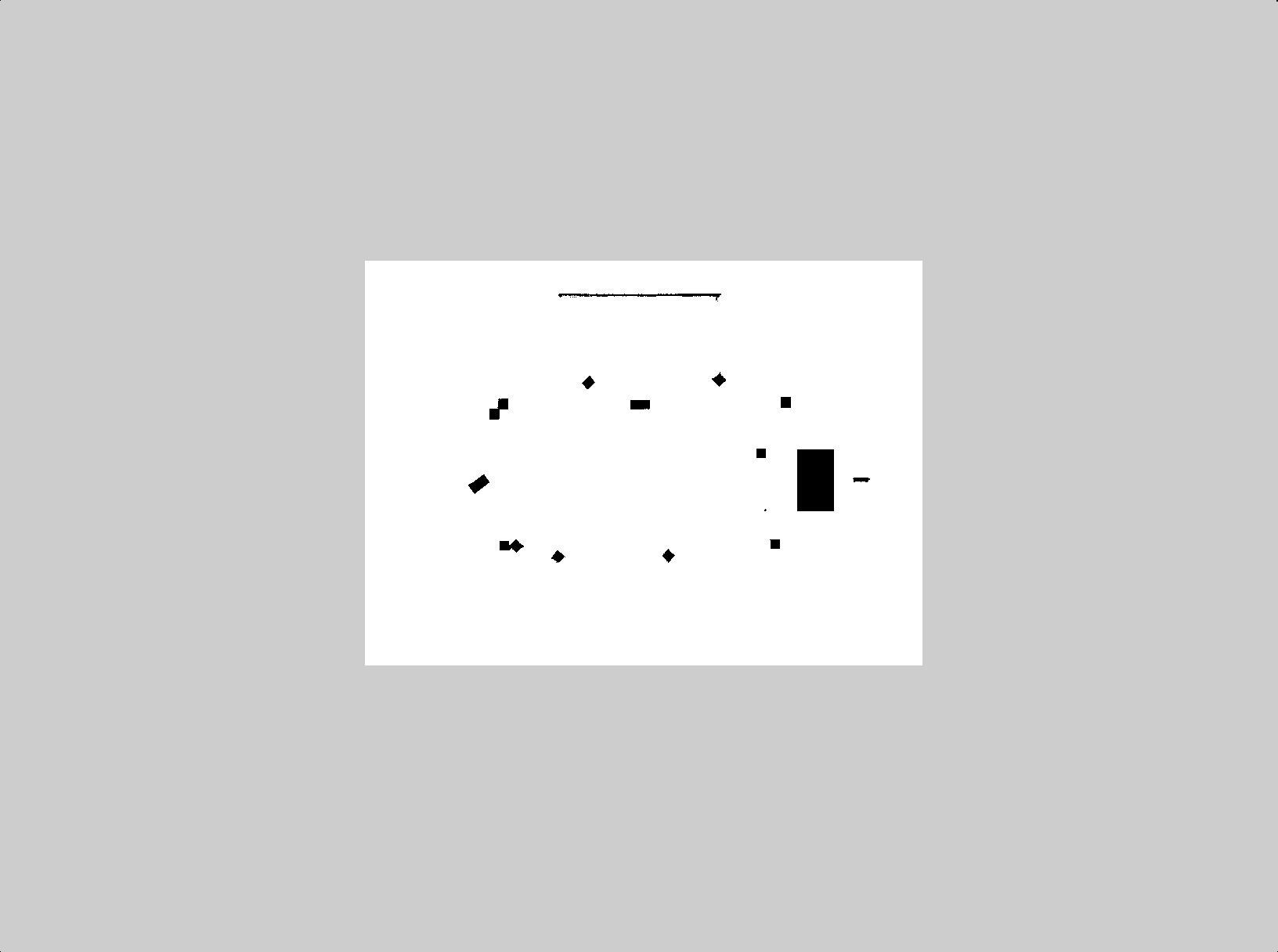
The modified map is the following:
While the world file I wrote is this:
include "../Common/Erratic.inc"
include "../Common/Landmarks.inc"
include "../Common/Urg.inc"

# set the resolution of the underlying raytrace model in meters
resolution 0.02

# simulation timestep in milliseconds
interval_sim 100

define landfinder fiducial
(
  range_min 1.0
  range_max 30.0
  range_max_id 30.0
  fov 270.0
  ignore_zloc 0

  # model properties
  size [ 0.010 0.010 0.010 ]
)

define floorplan model
(
    # sombre, sensible, artistic
    color "black"

    # most maps will need a bounding box
    boundary 1

    gui_nose 0
    gui_grid 0

    gui_outline 0
    gripper_return 0
    fiducial_return 0
    range_return 1
)

window
(
  size [ 1120 818 ]
  center [ -0.652 2.391 ]
  rotate [ 0.000 0.000 ]
  scale 21.734
  #show_grid 1
  #show_trailfast 1
)

# load an environment bitmap
floorplan
(
  name "map"
  bitmap "map.png"
  size [78.800 58.713 0.500]
  pose [0 0 0 0]
)

define box model
(
  size [0.400 0.400 0.500]
  gui_nose 0
)

# ROBOTs
erratic(pose [5.000  4.000 0.000 0.000] name "robot_0" color "blue")
erratic(pose [5.000  0.000 0.000 0.000] name "robot_1" color "orange")
erratic(pose [5.000  -4.000 0.000 0.000] name "robot_2" color "green")
Do you see anything wrong?
