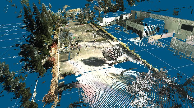
point cloud to depth image
how to achieve this given point cloud data and image.
| ROS Resources: Documentation | Support | Discussion Forum | Index | Service Status | ros @ Robotics Stack Exchange |

Asked: 2017-10-05 07:15:37 -0500
Seen: 1,367 times
Last updated: Oct 03 '18
 ROS Answers is licensed under Creative Commons Attribution 3.0 Content on this site is licensed under a Creative Commons Attribution Share Alike 3.0 license.
The general name for this is registration. You'll want to search for ROS components that can do that for you.
do i need to convert the image to any format ? and how can i know the resolution of my 3D point cloud. I'm getting height as 1 and width as 608400 i.e total number of points is 608400.
Those height and width values tell you that the point cloud is not arranges in even rows and columns (from an angular perspective) Is the image you're trying to register to a panorama as well?