
Lidar data and map misaligned after rotation
Hello everyone,
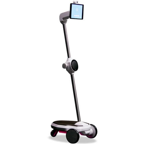
I am working with the telepresence robot of the Ohmnilabs (here a picture of the robot). I setup the navigation stack and I tuned the parameters and everything worked fine for the map creation phase.
When I try the autonomous navigation, after few goals, the lidar data showed on rviz is misaligned respect to the map.
I thought the problem was in the odometry and my thoughts were confirmed when I followed the step 1.2 in this guide. In particular, the robot failed the rotation test.
Can you please tell me what can I do to avoid or reduce the misalignment? Are there tutorials to solve this problem?
add a comment
