ROS Resources: Documentation | Support | Discussion Forum | Index | Service Status | ros @ Robotics Stack Exchange
Ask Your Question
1

Why maps built through gmapping are so different from the actual environment, although it looks very similar.

asked 2018-06-14 04:03:52 -0500

Liuche gravatar image

updated 2018-06-14 05:17:32 -0500

Greeting everyone,

Sorry to disturb you all again,

I have been trying SLAM these days,

I found out why the built map is always bigger than the actual environment.

image description

This is built by Gmapping. Area is 46m²

image description

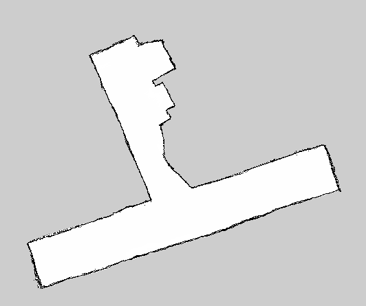
This is what I painted according to the actual scene. Area is 37m²

Is it because the odometer error causes the map to be larger than the actual?

If so, how can I correct it?

Cheers!!

edit retag flag offensive close merge delete

1 Answer

Sort by » oldest newest most voted
1

answered 2018-06-15 12:02:25 -0500

billy gravatar image

updated 2018-06-15 12:03:19 -0500

Assuming you drove the robot straight down the hallway, you have enough data to find the source of the error. If the width of the hallway was mapped wider than actual, you have an issue with laser scanner. If the length of the hallway is considerably off, then it's on ODOM issue. Two equations and two unknowns. Do the math.

But really, the error is only 25%. That seems pretty good to me. If you and the robot are both off in different directions, then it's only 12% error.

edit flag offensive delete link more

Comments

So is the fact that the 25% error is normal?

This makes me more comfortable, or I always worry that the error is too large

Liuche gravatar image Liuche  ( 2018-06-15 15:59:16 -0500 )edit

I myself wouldn't worry about it if the system meets your goals. If you are designing a robotic system to measure the square meters of a building, then you have an issue. If you are designing a system to deliver mail in a building and navigation works, then it's not an issue. What are requirements?

billy gravatar image billy  ( 2018-06-15 16:41:17 -0500 )edit

I am designing a system that can use the completed map for path planning and patrol sign-in。

According to what you said, it looks like it doesn’t matter if the map is not accurate。

Liuche gravatar image Liuche  ( 2018-06-16 07:03:54 -0500 )edit

Question Tools

3 followers

Stats

Asked: 2018-06-14 04:03:52 -0500

Seen: 226 times

Last updated: Jun 15 '18