ROS Resources: Documentation | Support | Discussion Forum | Index | Service Status | ros @ Robotics Stack Exchange
Ask Your Question
0

Laser scan data not aligned with map data and real world (Navigation Stack)

asked 2017-02-05 03:16:54 -0500

wassimhariri gravatar image

image description

Good Morning,

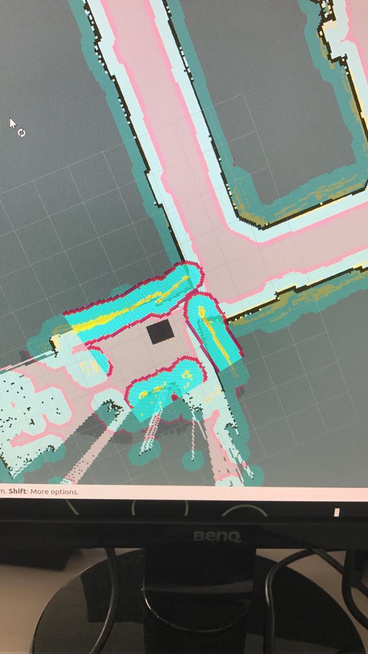
I am facing a problem recently with navigation. Once navigating, the laser scan inflation is not aligned with the walls included in the map. It happens at every corner in the map, it starts detecting the corner from the laser scanner before it actually reach it in reality which fail all the navigation.

The strange thing is that i have been navigating with this robot for around 6 months and every thing was working really fine, but this problem suddenly appeared recently without changing the navigation software. Any suggestion what could the problem be? is it odometry or laser scanner?

If someone had such a problem before and fixed it, it would be great to help.

Thanks a lot,

edit retag flag offensive close merge delete

1 Answer

Sort by » oldest newest most voted
0

answered 2017-02-09 09:37:23 -0500

Procópio gravatar image

Without additional info, it seems to be a localization problem, probably AMCL is having a hard time to properly localize your robot. This may also be an error in odometry, which influences the AMCL localization.

Well, try to remember what have you changed since it was working. Have you changed any parameter in amcl config? Have you changed your map/environment? Have you changed your wheels/encoders?

Any of this changes would have an effect in your localization and would generate the effect that you are seeing.

edit flag offensive delete link more

Question Tools

2 followers

Stats

Asked: 2017-02-05 03:16:54 -0500

Seen: 1,251 times

Last updated: Feb 09 '17